Industrial inspection equipment
Overview
Specialized GPR for ice and snow thickness measurement. Winter access planning supports safer vehicle movement load capacity decisions and operational continuity across frozen transport corridors remote work sites and seasonal infrastructure routes.
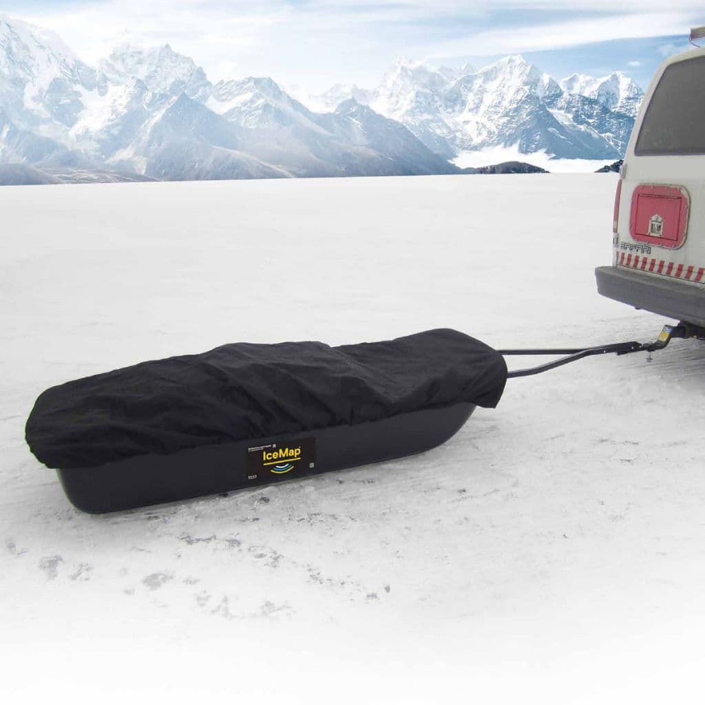
IceMap™ GPR System is configured with Ice thickness measurement, Snow depth profiling, and Real-time display to support reliable day-to-day inspection work in demanding operating conditions.
Key technical details include Frequency: 500 MHz, Ice Penetration: Up to 50 meters, Snow Penetration: Up to 20 meters, and Display: Rugged touchscreen, helping teams evaluate fitment, access requirements, and inspection coverage before deployment.
This product is suited to applications such as Ice road construction, Glacier studies, and Winter sports facilities, where repeatable imaging, measurement, or defect detection performance is important.
Get pricing, availability, and technical guidance.
Request QuoteResponse within 1 business day.
| Frequency | 500 MHz |
| Ice Penetration | Up to 50 meters |
| Snow Penetration | Up to 20 meters |
| Display | Rugged touchscreen |
| Battery Life | 8 hours in cold conditions |
| Operating Temperature | -40 degC to +30 degC |
| Weight | 6 kg |
| Connectivity | GPS, Bluetooth |
Ice road construction
Glacier studies
Winter sports facilities
Arctic research
Ice fishing safety
Climate research
Fill out the form below and our team will get back to you with detailed information about the IceMap GPR System.
Interested in IceMap™ GPR System? Fill out the form below and our team will get back to you within 24 hours.
The IceMap® GPR System is specifically engineered for rapid, non-destructive assessment of roads, highways, airport runways, bridge decks, and transportation infrastructure. Its advanced Ground Penetrating Radar (GPR) technology facilitates continuous, high-resolution subsurface data acquisition at operational traffic speeds, enabling engineers to accurately characterize pavement layer thickness, identify structural discontinuities, detect subsurface anomalies, and evaluate underlying ground conditions without interrupting traffic or compromising survey efficiency. This significantly improves project efficiency while supporting evidence-based pavement asset management across India's expanding transportation network.
By generating high-resolution subsurface profiles, the system enables transportation authorities to monitor pavement deterioration, identify moisture intrusion, detect voids, evaluate layer uniformity, and prioritize rehabilitation activities based on actual infrastructure conditions. This facilitates predictive maintenance, optimizes maintenance budgets, and extends the service life of critical transportation assets.
The IceMap® GPR System is extensively deployed by highway authorities, airport operators, metro rail agencies, public works departments, smart city developers, pavement engineering consultants, infrastructure contractors, and transportation research organizations responsible for managing large-scale road and civil infrastructure projects.
Unlike conventional point-based inspection techniques, high-speed GPR surveys capture continuous subsurface information across extensive pavement networks. This comprehensive dataset enables engineers to make informed rehabilitation decisions, reduce unnecessary excavation, minimize survey time, and improve the accuracy of infrastructure investment planning.
As India's transportation infrastructure continues to expand, data-driven pavement management has become increasingly important. The IceMap® GPR System enables authorities to improve inspection efficiency, reduce lifecycle maintenance costs, strengthen asset management programmes, and support sustainable infrastructure development through scientifically validated subsurface assessment.