Underground Utilities Locators
Advanced detection equipment for subsurface utilities, cables, pipes, and infrastructure mapping
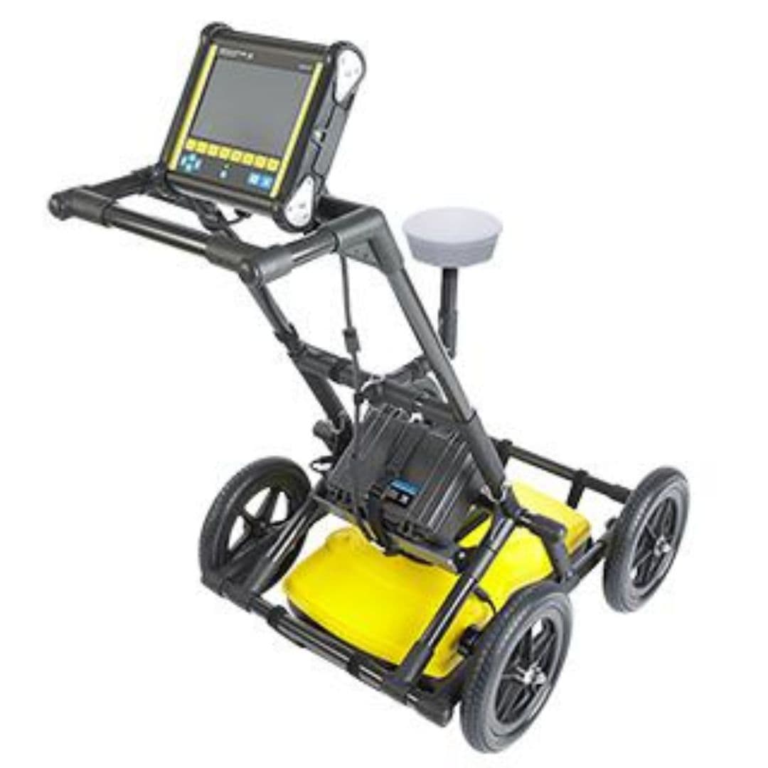
Ground Penetrating Radar (GPR)
Advanced GPR system for underground utility detection and mapping. Subsurface risk assessment supports safer excavation conflict prevention and informed construction planning by identifying hidden infrastructure before drilling trenching and ground disturbance begin.
- Subsurface Utility Detection Across Complex Ground Conditions
- Frequency Selection for Depth and Resolution Requirements
- Georeferenced Survey Data for Infrastructure Documentation
- Live Cross-Sectional Imaging During Field Surveys
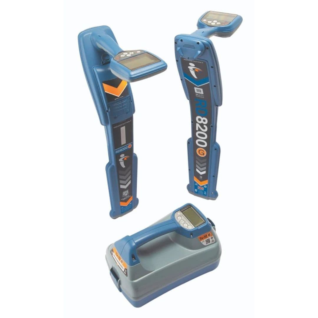
RD 8100/8200 Cable and Pipe Locators
Professional cable and pipe location system with advanced detection capabilities. Excavation risk control helps project teams prevent utility strikes minimise service disruption and protect workers before civil works drilling trenching or ground disturbance begins.
- Multiple frequency detection
- Depth and current measurement
- GPS positioning and mapping
- Bluetooth connectivity
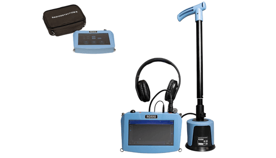
Water Pipe Locator & Leak Detector
Specialized system for water pipe location and leak detection. Early pipeline fault identification enables targeted repair planning protects infrastructure investment and helps operators avoid disruptive failures escalating maintenance costs and unnecessary resource wastage.
- Acoustic leak detection
- Pipe tracing capability
- Digital signal processing
- Noise filtering technology
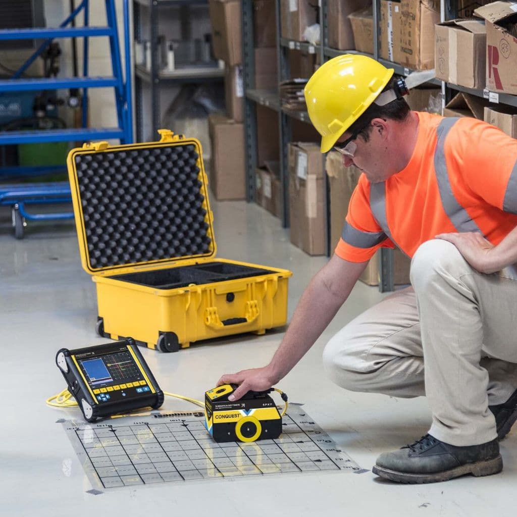
Conquest® 100 Concrete Scanner
Advanced concrete scanning system for structure analysis and rebar detection. Pre-modification assessment helps engineers select safer drilling locations reduce accidental damage and support confident renovation repair and structural alteration decisions.
- Real-time imaging
- Rebar detection and mapping
- Depth measurement
- Post-tension cable detection
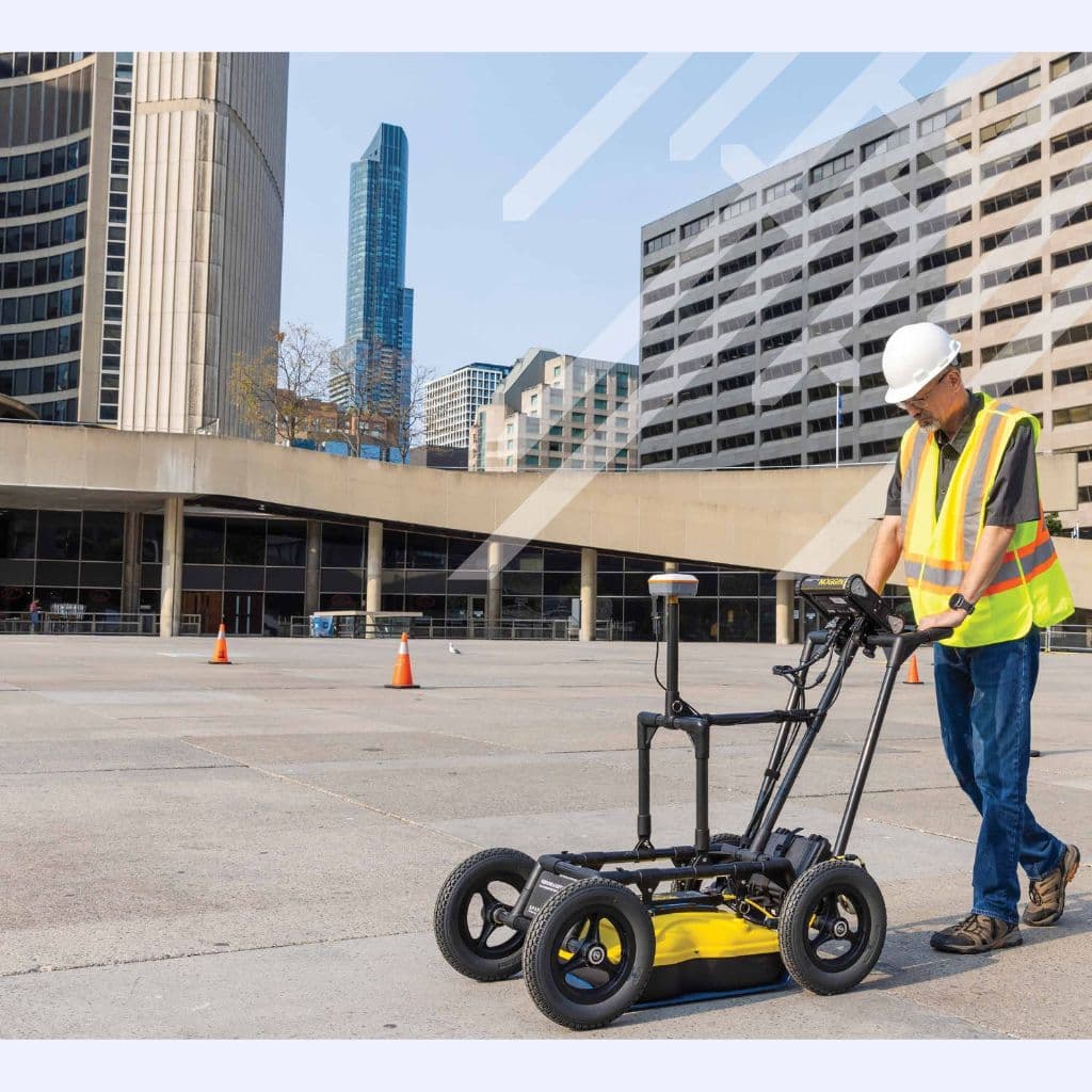
NOGGIN® GPR System
Compact and portable GPR system for versatile underground detection. Site investigation flexibility enables engineering teams to adapt subsurface surveys across changing terrain project conditions and infrastructure requirements while improving planning confidence and operational efficiency.
- Lightweight and portable
- Quick deployment
- Real-time data display
- Multiple antenna frequencies
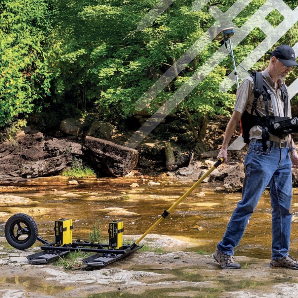
pulseEKKO® Professional GPR
Professional-grade GPR system for advanced geophysical applications. Complex subsurface characterisation supports evidence-based engineering decisions by revealing geological conditions structural variations and concealed anomalies across demanding investigation programmes.
- Multi-channel capability
- Advanced signal processing
- 3D data acquisition
- Customizable configurations
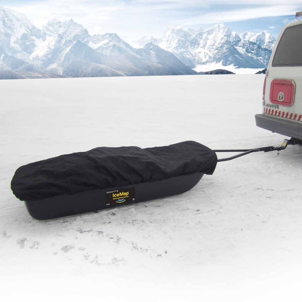
IceMap™ GPR System
Specialized GPR for ice and snow thickness measurement. Winter access planning supports safer vehicle movement load capacity decisions and operational continuity across frozen transport corridors remote work sites and seasonal infrastructure routes.
- Ice thickness measurement
- Snow depth profiling
- Real-time display
- GPS integration
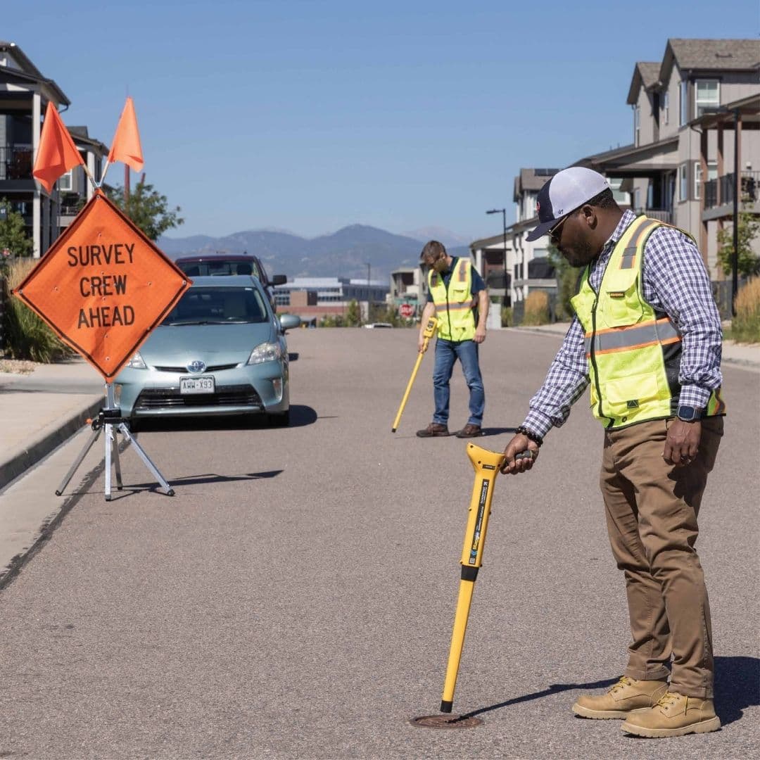
Manhole Cover Locator
The Manhole Cover Locator is a precision tool designed to quickly and accurately locate buried or hidden manhole covers made of ferrous materials. Using advanced magnetic detection technology, it helps utility workers, surveyors, and maintenance teams save time and effort by pinpointing metal covers even under soil, asphalt, or vegetation. Built for durability and reliability in tough field conditions, this locator offers clear audio and visual signals to ensure efficient operation. Ideal for water, sewer, and utility applications, it enhances safety, productivity, and accuracy in underground infrastructure maintenance. Infrastructure access recovery helps maintenance teams identify concealed service entry points reduce unnecessary excavation and restore faster access for repair inspection and emergency response activities.
- Highest Sensitivity: Equipped with advanced HeliFlux® sensors capable of detecting ferrous objects up to 5.5m (18 ft) deep.
- Ergonomic & Durable Design: Engineered for comfort during extended use and built tough to withstand daily field conditions.
- Dust & Water Resistant (IP54): Operates reliably in harsh environments including rain shallow water or snow.
- Easy Battery Access: Quick tool-free battery replacement keeps you working without interruption.
Key Applications
Utility Mapping
Locate underground cables, pipes, and utilities before excavation to prevent damage
Leak Detection
Identify water leaks in underground pipes with acoustic detection technology
Concrete Scanning
Detect rebar, conduits, and voids in concrete structures before drilling or cutting
About this category
Our Underground Detection Solutions
Professional-grade equipment for accurate subsurface utility location and mapping
Need Help Choosing the Right Equipment?
Our experts can help you select the perfect underground detection solution for your project
Contact Our TeamFrequently Asked Questions
Why should utility locating be performed before excavation and construction activities?▼
Underground utility locating helps contractors, engineers, and project managers identify buried assets before excavation begins. Accurately locating underground utilities such as power cables, gas pipelines, water networks, fiber optic lines, and drainage systems helps organizations prevent costly utility strikes, enhance workforce safety, minimize project disruptions, and ensure smooth, efficient execution of excavation and infrastructure projects.
How do underground utility locators improve the efficiency of infrastructure projects?▼
Utility locators provide accurate subsurface information that enables engineers to plan excavation activities with confidence. Accurate identification of buried utilities empowers organizations to plan projects with greater confidence, eliminate costly rework, enhance workforce safety, and accelerate construction schedules for improved operational efficiency and project success.
Can underground utility locators detect both metallic and non-metallic utilities?▼
Modern utility locating solutions can identify metallic utilities directly and, when combined with Ground Penetrating Radar (GPR), can also help locate non-metallic assets such as plastic pipes, concrete structures, fiber optic conduits, and underground storage systems. This provides a comprehensive view of subsurface infrastructure.
Which industries benefit most from underground utility locating technology?▼
Utility locating equipment is extensively used by municipal corporations, infrastructure developers, utility service providers, telecommunications companies, oil & gas operators, construction firms, railways, airports, and smart city development projects. Accurate utility mapping provides the foundation for safer operations, smarter planning, and more efficient project execution, helping organizations reduce risks, prevent costly delays, and protect critical infrastructure.
How can utility locating technology help reduce project risks and financial losses?▼
Accidental utility strikes can result in costly repairs, regulatory penalties, service interruptions, and safety incidents. Utility locating technology helps organizations identify underground hazards before excavation, significantly reducing project risks while protecting both personnel and infrastructure investments.