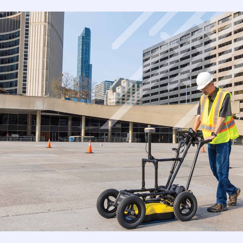
NOGGIN® GPR System
Industrial inspection equipment
Overview
Compact and portable GPR system for versatile underground detection. Site investigation flexibility enables engineering teams to adapt subsurface surveys across changing terrain project conditions and infrastructure requirements while improving planning confidence and operational efficiency.
NOGGIN® GPR System is configured with Lightweight and portable, Quick deployment, and Real-time data display to support reliable day-to-day inspection work in demanding operating conditions.
Key technical details include Antenna Frequencies: 250 MHz, 500 MHz, 1000 MHz, Penetration Depth: Up to 6 meters, Display: Integrated touchscreen, and Data Storage: 64 GB, helping teams evaluate fitment, access requirements, and inspection coverage before deployment.
This product is suited to applications such as Utility detection, Archaeological surveys, and Environmental studies, where repeatable imaging, measurement, or defect detection performance is important.
Key Highlights
- Lightweight and portable
- Quick deployment
- Real-time data display
- Multiple antenna frequencies
- Integrated GPS
- Rugged construction
Request a Quote
Get pricing, availability, and technical guidance.
Request QuoteResponse within 1 business day.
Technical Specifications
| Antenna Frequencies | 250 MHz, 500 MHz, 1000 MHz |
| Penetration Depth | Up to 6 meters |
| Display | Integrated touchscreen |
| Data Storage | 64 GB |
| Battery Life | 6 hours |
| Operating Temperature | -20 degC to +50 degC |
| Weight | 5.5 kg |
| Dimensions | Compact cart-based system |
Applications
Utility detection
Archaeological surveys
Environmental studies
Forensic investigations
Concrete inspection
Pavement assessment
Request a Quote
Fill out the form below and our team will get back to you with detailed information about the NOGGIN GPR System.
Request a Quote
Interested in NOGGIN® GPR System? Fill out the form below and our team will get back to you within 24 hours.